map |
|
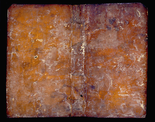
| 120. A Fragment of a Portolan Chart | |
| Portolan Chart. Venice;
c. 1500. MS fragment; vellum; 130 x 159 mm |
|
[verso] A fragment of a 'portolano', a medieval navigational map, presumably the eastern central portion of the map covering the Mediterranean region. The fragment shows most of Greece and the islands, and the southern part of the Italian peninsula. Drawn in sepia and shaded in red, the principal place names written in a small Gothic script, and interlocking rhumb lines in red and brown. Stylized town diagrams for Ragusa (Dubrovnik) and Salonica (Thessaloniki) are perhaps virtually contemporary additions. The verso of the leaf clearly indicates by folded lines that the parchment was recycled to serve as a book cover. [« recto] |
|
| Isabelle Raynoud-Nguyen, 'Les portulans: texte et iconographie', in Iconographie médiévale: image, texte, contexte, ed. by G. Duchet-Suchaux (Paris, 1993), pp.91-107 | |
|
[170X 24/1] |